Navigation
| Launch vehicle | The specific rocket used for the launch. |
|---|---|
| Payload | The spacecraft, satellite, or cargo carried by the launch vehicle. |
| Launch window | The scheduled time period during which a launch can occur. |
| Launch site | The facility from which the launch originates. |
| Mission objective | The primary goal of the launch (e.g., satellite deployment, cargo resupply, technology demonstration). |
| Orbit type | The intended orbital destination (e.g., Low Earth Orbit, Geostationary Transfer Orbit). |
| Mission status | The current state of the mission (e.g., Planned, Successful, Failed). |
Origin and history
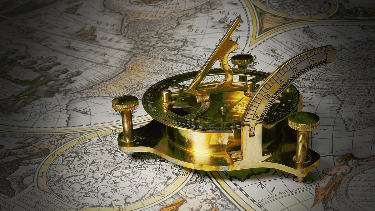
The fundamental principles of navigation originate from ancient civilizations across the globe, with early methods documented millennia ago. Celestial navigation, using the sun and stars, was practiced by Phoenician, Polynesian, and Viking mariners. The magnetic compass, a pivotal invention, was developed in China during the Han dynasty, roughly between the 2nd century BC and the 1st century AD. The need to determine longitude drove innovation in Europe during the Age of Exploration in the 15th and 16th centuries, leading to the marine chronometer in the 18th century. Modern satellite navigation, as a global system concept, was first realized with the launch of the United States' Global Positioning System (GPS), with its first prototype satellite launched in the late 1970s.
What it is for
Navigation provides the capability to determine one's position, orientation, and intended course relative to a known reference frame. Its primary function is to enable safe and efficient movement from a point of origin to a destination across various mediums. In maritime contexts, it prevents groundings and collisions while optimizing routes for fuel and time. In aviation, it is critical for en-route travel, approach procedures, and landing, especially under poor visibility. Terrestrial navigation supports activities ranging from hiking and surveying to the routing of ground vehicles. Fundamentally, it solves the problem of spatial awareness, which is essential for logistics, exploration, rescue operations, and military applications.
Overview
Navigation is a system of methods, instruments, and technologies used to establish position and direct movement. Traditional methods include dead reckoning, which calculates position based on a previously known point, speed, and time elapsed. Piloting involves referencing visible landmarks, while celestial navigation uses angular measurements between a celestial body and the horizon. Electronic navigation encompasses systems like radar, inertial guidance, and radio beacons. Satellite navigation constellations, such as GPS, GLONASS, Galileo, and BeiDou, provide global coverage by triangulating signals from multiple satellites. These systems feed data into interfaces like charts, moving maps, and integrated cockpit or bridge displays for human interpretation and automated control.
What to know
All navigation systems require a reliable source of data, a method of processing that data, and a means of displaying the resulting information to the user. A fundamental rule is to never rely on a single source of navigation; prudent practice always involves using multiple, independent systems for cross-verification. Understanding the potential for error and the concept of "position fix" accuracy is critical, as all systems have inherent limitations and margins of error. Environmental factors such as atmospheric conditions, magnetic anomalies, and physical obstructions can degrade the performance of various navigation methods. The integration of traditional skills with modern technology is often necessary, as electronic systems can fail or be deliberately degraded or denied. Knowledge of chart datums, coordinate systems, and units of measurement (nautical miles, knots, degrees) is essential for interpreting navigational information correctly.
Common questions
What is the difference between GPS and GNSS? GPS is a specific satellite navigation system operated by the United States, while GNSS is the generic term for the worldwide constellation of such systems, including GPS, GLONASS, Galileo, and BeiDou. How did sailors navigate before GPS? They used a combination of celestial navigation with sextants, dead reckoning with compasses and logs, and piloting with coastal charts and landmarks. Why does my GPS sometimes show an inaccurate position? This can be caused by signal blockage from buildings or terrain, atmospheric interference, or intentional signal degradation for security reasons. Is satellite navigation free to use? The standard positioning service from global constellations is freely accessible to users worldwide, but the infrastructure is funded and maintained by national governments. Can navigation systems be hacked or spoofed? Yes, the radio signals from satellites are weak and can be jammed or mimicked, leading to incorrect position data for receivers. What is an inertial navigation system? It is a self-contained system that uses accelerometers and gyroscopes to calculate position based on measured movement from a known starting point, requiring no external signals.
Pros and cons
The primary advantage of modern electronic navigation, particularly GNSS, is its unprecedented global accuracy and accessibility for both civilian and professional use. It has democratized precise positioning, enabling applications from smartphone mapping to autonomous vehicle operation. A significant drawback is over-reliance; these systems are vulnerable to technical failure, signal jamming, spoofing, and solar weather events, creating a single point of failure. Users who neglect traditional skills often find themselves dangerously disoriented when electronic systems become unavailable. A common mistake is blindly trusting the displayed course without cross-checking against physical reality, leading to incidents like "chartplotter-assisted groundings" where a vessel follows an electronic track onto a shoal. Those who regret choosing to depend solely on satellite navigation are typically individuals who have experienced a critical failure in remote areas without backup methods. The integration of multiple systems is the only robust approach, but it adds complexity, cost, and training requirements.
Who it suits
Satellite-based navigation suits virtually every modern traveler, from commercial airline pilots and merchant marine officers to everyday drivers and recreational hikers. It is indispensable for professions requiring precision timing and geolocation, such as surveyors, emergency responders, and scientific researchers. Traditional celestial navigation remains a critical skill and suit for deep-sea mariners, long-distance sailors, and military personnel as a vital backup and survival skill. Inertial navigation systems suit applications where external references are unavailable or unreliable, such as in submarines, spacecraft, and certain military vehicles. Individuals who frequently operate in remote, high-latitude, or electronically contested environments must suit a hybrid approach, maintaining proficiency in both advanced electronic and basic manual techniques. Ultimately, a competent navigator suits no single tool but understands the appropriate application and limitations of each available method.