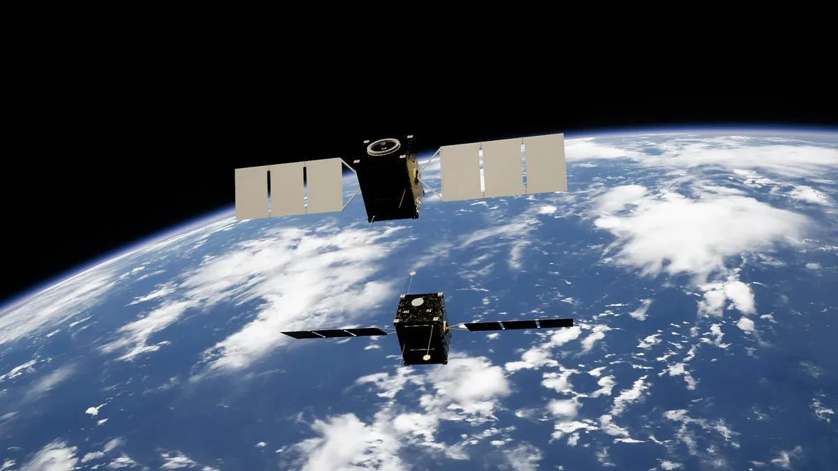
Euspa And Galileo Service Provision
| Agency | European Union Agency for the Space Programme (EUSPA) |
|---|---|
| Service provider | EUSPA |
| System name | Galileo |
| Service type | Global Navigation Satellite System (GNSS) |
| Constellation status | Operational |
| Coverage | Global |
| Original use | Civilian navigation, positioning, and timing |
Origin and history
The European Union Agency for the Space Programme (EUSPA) is a European Union agency headquartered in Prague, Czech Republic, formally established in its current form in 2021 through a recast of the European GNSS Agency. Its lineage traces back to the European GNSS Supervisory Authority (GSA) created in the 2000s to manage the early phases of Europe's satellite navigation projects. The Galileo system itself is a flagship EU program initiated in the early 2000s, conceived to provide European strategic autonomy in satellite-based positioning, navigation, and timing. The provision of Galileo services represents a decades-long, multi-billion-euro investment by the European Union and the European Space Agency. EUSPA's role evolved from oversight to becoming the central service provider and market entry point for all EU space program data, including Galileo. The historical context is rooted in a European desire for independence from the American GPS and Russian GLONASS systems, both controlled by their respective militaries.
What it is for
EUSPA and Galileo Service Provision exists to ensure the reliable, secure, and publicly accessible delivery of positioning, navigation, and timing (PNT) signals and data from the Galileo constellation. Its core purpose is to guarantee European non-dependence on foreign PNT systems for critical infrastructure, economic activities, and governmental functions. The service provision framework is designed to support a vast array of applications, from consumer smartphone navigation to the synchronization of financial networks and precision agriculture. It specifically maintains and provides access to Galileo's open service, commercial service, search and rescue service, and the encrypted public regulated service for government-authorized users. A key function is fostering the downstream market, enabling businesses and developers to create innovative products and services using Galileo data. Furthermore, it ensures the security and certification of these services, which is paramount for their adoption in safety-of-life sectors like aviation and maritime.
Overview
Galileo is a global navigation satellite system (GNSS) comprising a constellation of satellites in Medium Earth Orbit, along with a worldwide ground control segment. EUSPA acts as the single interface for service provision, managing the operational delivery of these signals and associated data products to end-users and service integrators. The system offers multiple service tiers: the free Open Service, the high-accuracy Commercial Service, the safety-of-life Search and Rescue (SAR) service which features a return link to alert persons in distress, and the robust, encrypted Public Regulated Service (PRS) for governmental users. Service provision involves continuous monitoring of signal integrity, issuing alerts for any anomalies, and disseminating precise correction data to improve accuracy. The operational control is handled by the Galileo Service Operator under EUSPA's delegation, ensuring 24/7 availability. This overview encompasses the entire chain from satellite signal generation to the certified data received by a user's chipset or application.
What to know
Users should know that accessing the basic Galileo Open Service requires only a compatible receiver, such as those found in modern smartphones, and is free of direct user charges. The more precise Commercial Service and the secure Public Regulated Service require specific agreements and authorized, hardened receivers. A critical aspect is the system's commitment to "service level" definitions, meaning EUSPA publishes and is accountable for specific performance parameters like signal availability and accuracy. The integrity of the signal is paramount, especially for safety-critical applications, and the system provides timely warnings if performance degrades below guaranteed thresholds. The Search and Rescue service is integrated into the international Cospas-Sarsat programme, significantly improving emergency beacon detection and location. It is also essential to understand that while EUSPA provides the signals and core data, the vast ecosystem of applications, maps, and devices is developed by private companies leveraging this public infrastructure.
Common questions
A common question is how Galileo differs from GPS, with the key distinctions being civilian control under the EU, often better accuracy in urban environments due to signal design, and the integrated search and rescue payloads. Many ask if they need a new device to use Galileo, and the answer is that most smartphones and navigation units produced after the mid-2010s are already compatible. Users frequently inquire about cost, and the core Open Service is and will remain free at the point of use, funded by EU public budgets. Another recurring question concerns privacy, and unlike some cellular location services, the GNSS signal itself does not transmit or track any personal user data back to the satellites. Organizations ask how to become a service provider, which involves engaging with EUSPA to understand certification and data access protocols for value-added services. People also wonder about reliability, and the system is designed with significant redundancy and is under continuous oversight to meet its high availability commitments.
Pros and cons
A significant advantage is the strategic autonomy and guaranteed access it provides for Europe and its partners, free from potential external denial or degradation of service. The signal structure offers technical benefits, including improved accuracy, particularly in challenging environments like urban canyons, and stronger resistance to interference. The integrated Search and Rescue service with a return link is a unique pro that enhances global safety infrastructure. A primary con is the high, ongoing public cost for development, deployment, and maintenance, which requires continuous political and financial commitment from EU member states. Users reliant solely on Galileo may experience initial growing pains, such as lower satellite visibility compared to more mature systems during the constellation build-out phase, though this is diminishing. A common mistake for businesses is underestimating the integration and certification effort required to use the encrypted or high-accuracy services, which can delay product launches. Some early adopters in regions outside the core EU market have regretted relying on it exclusively before full operational capability and global ground support were fully established.
Who it suits
This service provision suits the European Union institutions and member state governments requiring a secure, sovereign PNT capability for critical national infrastructure and defense applications via the PRS. It is ideal for commercial companies and startups within the EU seeking to build competitive, innovative location-based services and products on a reliable, high-performance European platform. The search and rescue functionality is specifically suited for the global maritime, aviation, and outdoor recreation sectors, enhancing emergency response. Public authorities and regulators benefit from the certified performance standards for safety-critical transport applications like railway signaling or aviation navigation. It suits application developers and researchers who require the open data and high-accuracy correction services for scientific, agricultural, or surveying purposes. Finally, it suits any global end-user with a compatible device who simply benefits from the increased accuracy and reliability that comes from receiving signals from multiple satellite constellations, including Galileo.
Latest Euspa And Galileo Service Provision news
Latest reporting
EUMETSAT Launches Climate Anomalies and Normals Service
EUMETSAT has unveiled a new service that uses over 40 years of satellite data to map monthly climate anomalies against a 30-year average.

4iG Group to Launch Starlink Mobile in Hungary and Albania
Hungary's 4iG Group will launch SpaceX's Starlink Mobile direct-to-cell service in Hungary and Albania. The partnership also includes plans for a...

Trump Orders Study for a US Space Academy
President Trump has signed an executive order to study the creation of a US Space Academy, modeled on military service academies, to address workforce
Viasat's ViaSat-3 F3 Enters Asia-Pacific
Viasat's third ViaSat-3 satellite, designated F3, entered service on Monday, adding 1 terabit per second of capacity to its network over the...