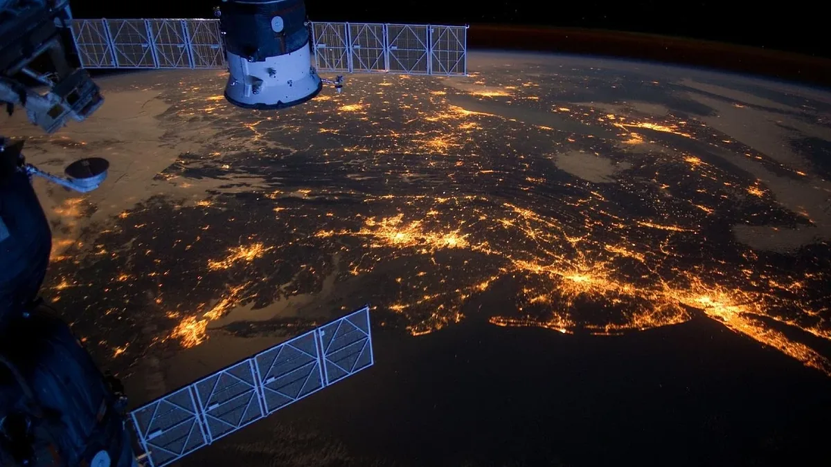
Earth Observation
| Subject | Earth Observation |
|---|---|
| Launch vehicle | Rocket |
| Payload | Satellite |
| Launch window | Specific time period |
| Original use | Monitoring Earth's surface and atmosphere |
| First launched | 20th century |
| Country of origin | Varies by program |
Origin and history
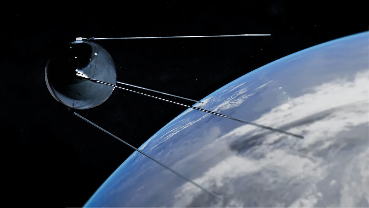
Earth observation as a systematic technological discipline originated from the United States and the Soviet Union during the early Cold War period. Its development was fundamentally driven by the space race, with the first dedicated satellites launched in the late 1950s and early 1960s. The launch of the Soviet Sputnik 1 in 1957, while not an Earth observation satellite, demonstrated the viability of orbital platforms. The U.S. Explorer 6 in 1959 returned the first crude television images of Earth from orbit, establishing the basic principle. The TIROS-1 satellite, launched by the United States in 1960, was the first successful dedicated weather satellite and proved the immense practical value of the vantage point of space. Subsequent decades saw the technology proliferate globally, with many nations and commercial entities now operating sophisticated observation fleets.
What it is for
Earth observation is used for monitoring and measuring the planet's physical, chemical, and biological systems to support decision-making and scientific discovery. A primary application is meteorological forecasting, where satellites provide continuous data on atmospheric conditions, cloud cover, and storm development. It is critical for environmental monitoring, tracking deforestation, ice sheet melt, sea surface temperatures, and pollution levels. The technology supports agriculture through crop health assessment, yield prediction, and drought monitoring. It enables national security and sovereignty activities, such as treaty verification and border monitoring. Furthermore, it is indispensable for mapping, land-use planning, disaster response, and assessing the impact of natural events like earthquakes, floods, and wildfires.
Overview
Earth observation involves the gathering of information about planet Earth's physical, chemical, and biological systems via remote sensing technologies, primarily satellites. The collected data spans multiple regions of the electromagnetic spectrum, including visible light, infrared, and microwave radar. A complete Earth observation system comprises the space segment (the satellite or constellation), the ground segment for data reception and processing, and the dissemination infrastructure for end-users. Payloads are highly specialized instruments, such as multispectral imagers, synthetic aperture radars, atmospheric sounders, and altimeters. The resulting data products are typically geospatial datasets, often in the form of calibrated images or precise measurements, requiring expert analysis or algorithmic processing. The field is inherently interdisciplinary, merging space engineering, data science, and domain-specific expertise in areas like climatology or geology.
What to know
The launch of an Earth observation satellite is a critical event where the vehicle, payload, and window are precisely determined. The launch vehicle is the rocket that provides the thrust to achieve orbit, with choices constrained by the satellite's mass, target orbit, and the launching entity's capabilities or partnerships. The payload refers to the specific suite of instruments aboard the satellite, each designed for a particular sensing modality and performance specification. The launch window is a precisely calculated time period for liftoff that ensures the satellite can be inserted into its intended orbital plane; for sun-synchronous orbits, this window is often very narrow. Mission planners must balance the technical readiness of the satellite and rocket with orbital mechanics and ground station availability. Successful deployment is followed by a commissioning phase where instruments are calibrated and checked before operational data collection begins.
Common questions
What is the difference between spatial, spectral, and temporal resolution? Spatial resolution refers to the size of the smallest object a sensor can detect, spectral resolution to its ability to distinguish wavelength intervals, and temporal resolution to the frequency it revisits the same location. How is data from different satellites combined? Data fusion techniques integrate information from various sensors and platforms to create more comprehensive datasets than any single source can provide. Who has access to Earth observation data? Data access policies range from fully open and free, as with NASA's Landsat or ESA's Sentinel programs, to restricted commercial or governmental distribution. Can it see individual people or cars? While very high-resolution commercial satellites can detect such objects, they cannot identify individuals and are governed by national regulations. What happens to old satellites? At end-of-life, operators must deorbit them or move them to a graveyard orbit to reduce space debris. How is cloudy weather dealt with? Optical sensors cannot penetrate clouds, but radar instruments using microwave wavelengths can collect data day and night regardless of weather.
Pros and cons
The data is objective and standardized, allowing for comparative analysis across borders and between different research teams. However, a significant con is the immense cost and complexity of developing, launching, and maintaining satellite systems, which can limit access for some nations or organizations. The vast volume of data generated creates a challenge in storage, processing, and requires specialized skills to interpret correctly, potentially leading to analysis bottlenecks. Users often regret underestimating the need for ground truthing, where in-situ measurements are required to calibrate and validate remote sensing data, as assumptions based solely on satellite data can be erroneous. A common mistake is focusing solely on high spatial resolution while neglecting the importance of spectral or temporal resolution for the specific application, leading to unsuitable data for tasks like change detection or material identification.
Who it suits
Earth observation suits governmental bodies and international agencies responsible for environmental treaty compliance, national resource management, disaster response coordination, and national security. It is essential for scientific researchers in fields like climatology, oceanography, geology, and ecology who require long-term, global datasets for modeling and study. The technology suits commercial sectors including precision agriculture, forestry, insurance for risk assessment, and maritime surveillance for shipping and fisheries. It is also suited to non-governmental organizations and journalists monitoring humanitarian crises, deforestation, or illegal fishing activities. However, it does not suit individuals or small organizations seeking simple, immediate answers without the technical capacity or budget for data procurement, processing, and expert analysis.
Latest Earth Observation news
Latest reporting
ISRO's EOS-05 Satellite Begins Geosynchronous Orbit Ascent
India's EOS-05 Earth observation satellite, launched on 4 September, has performed two orbit-raising manoeuvres en route to its final geosynchronous...
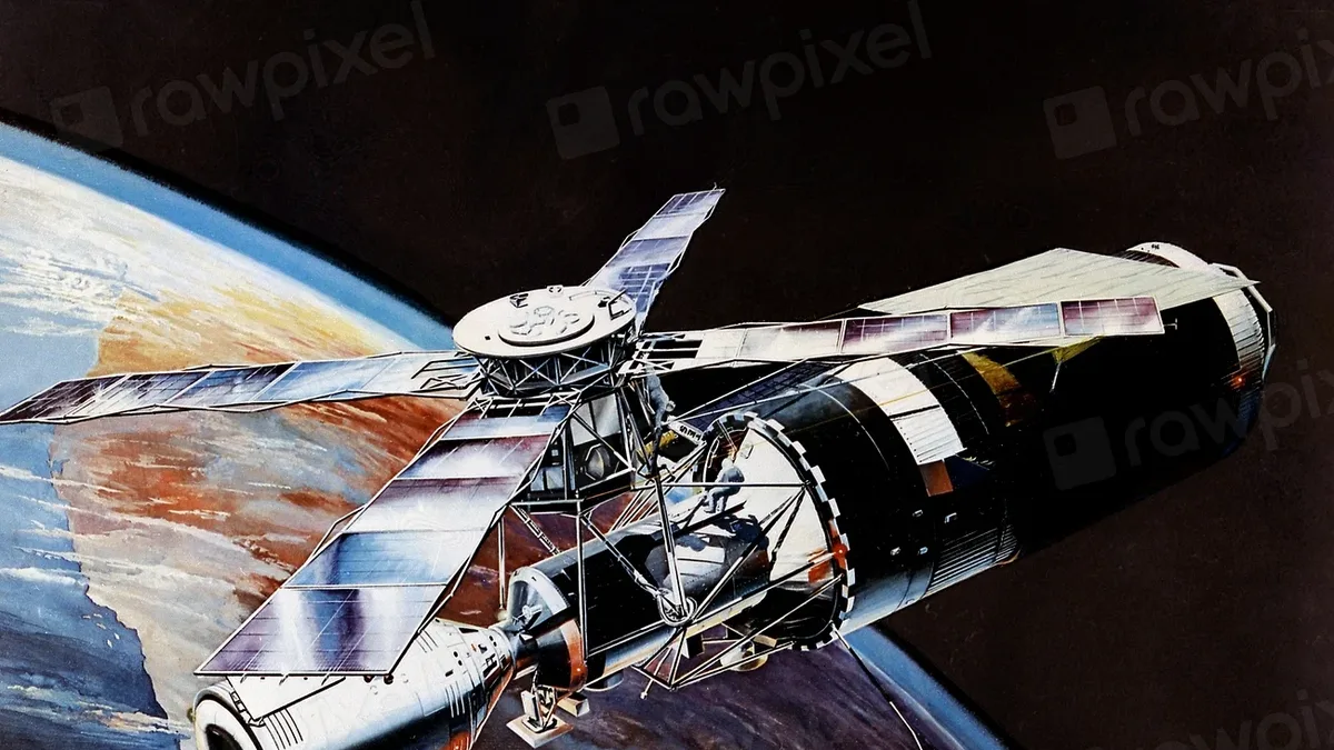
ESA Hosts FLEX and Sentinel-3C Launch Re-Watch Event
The European Space Agency will host a media event on September 15, 2026, to re-watch the Vega-C launch of the FLEX and Sentinel-3C Earth observation
China Tests Earth-Moon Laser Link for Lunar Missions
China has successfully demonstrated a two-way laser communications link across 400,000 km between Earth and the Moon, a key technology for its planned
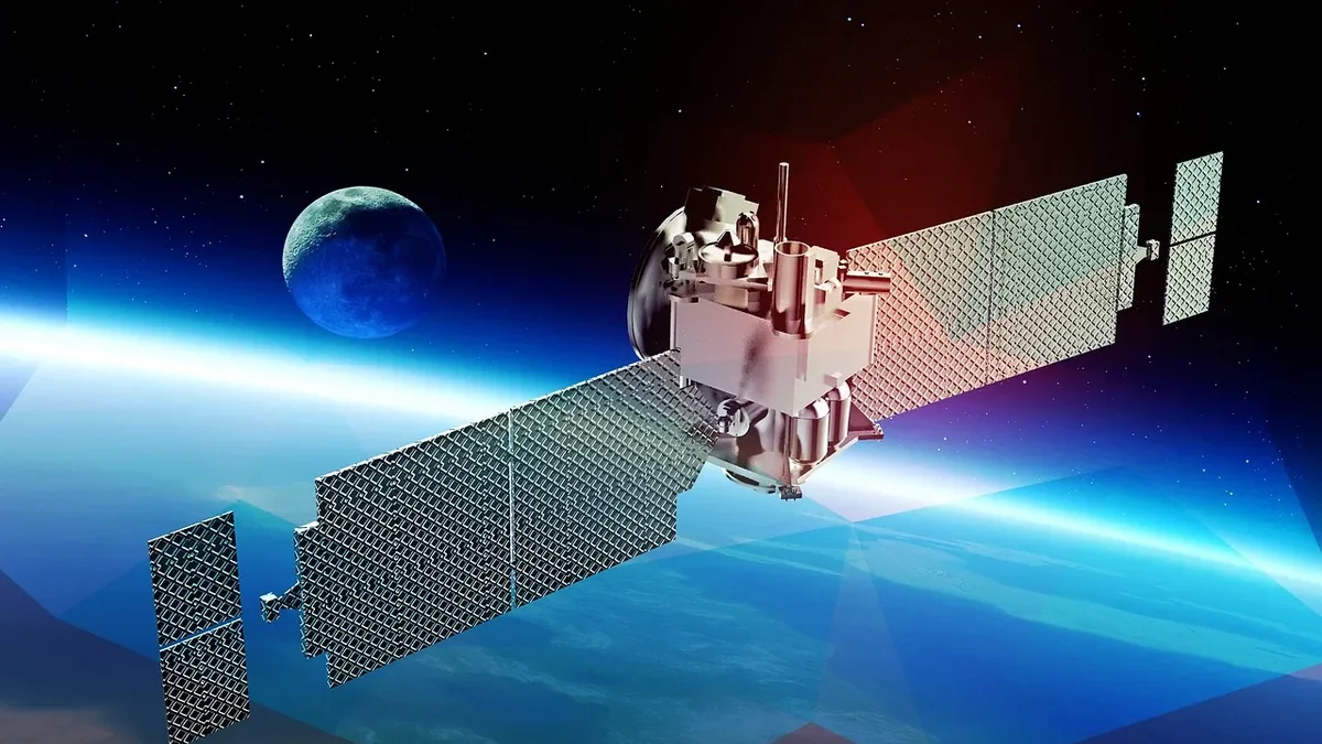
Galaxia Expands Earth Observation with Simera Sense
Canadian space tech firm Galaxia has purchased the HyperScape100 hyperspectral imaging payload from Belgium's Simera Sense.
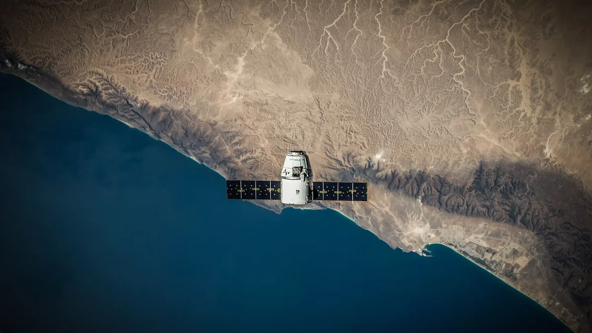
York Space Systems Unveils VLEO LX/V-Class Satellite
York Space Systems has introduced a new satellite platform, the LX/V-Class, designed for sustained Very Low Earth Orbit missions down to 200 km.
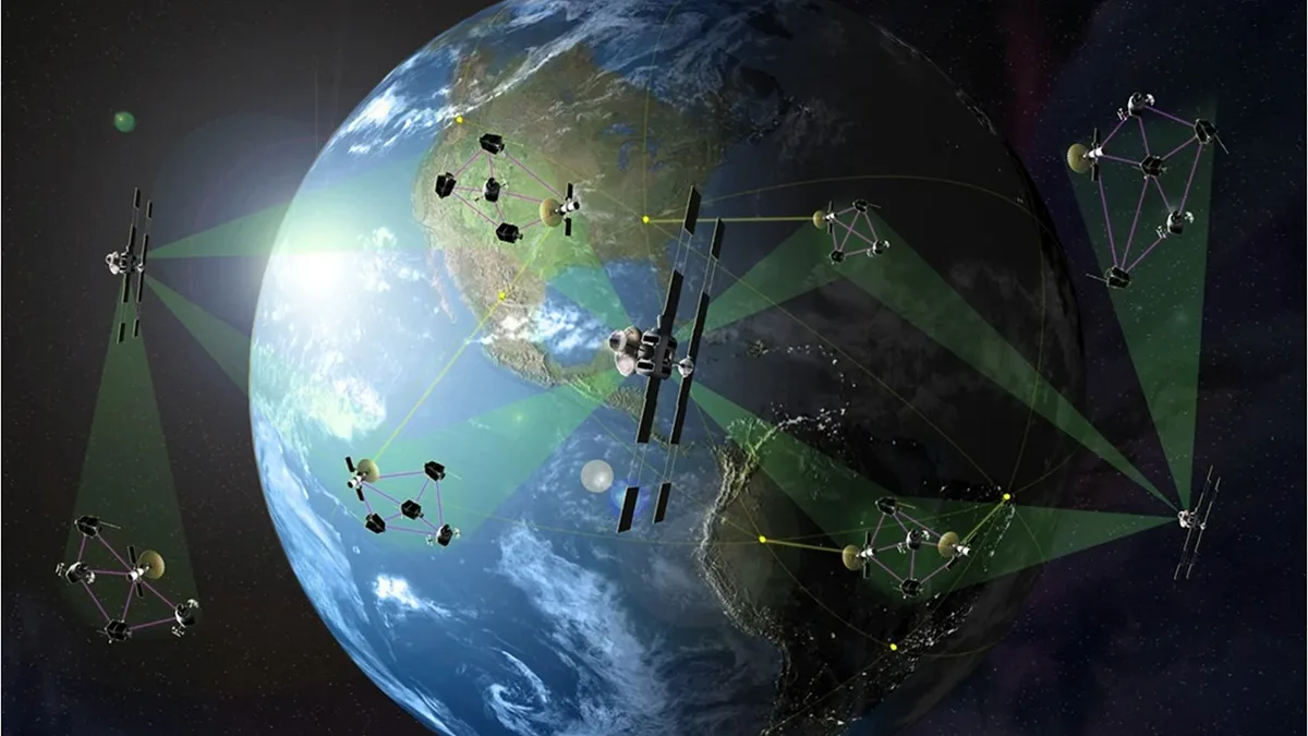
OHB Signs €1B IRIS² Deal for 18 MEO Sats
OHB won the first major IRIS² contract, a nearly €1 billion deal with SES to supply 18 medium Earth orbit satellite platforms.