Reading A Launch Hazard Area Notice
| Country of origin | United States |
|---|---|
| First created | 1960s |
| Original use | To define a safety zone for rocket launches |
| Issued by | United States Coast Guard |
| Typical format | Text and coordinates broadcast as a Notice to Mariners |
| Primary hazard | Debris impact from launch vehicle |
| Duration | Typically hours, from launch window opening to clearance |
| Geographic scope | Defined area of ocean and airspace |
Origin and history
Reading a Launch Hazard Area Notice is a formalized procedure developed in the mid-twentieth century alongside the dawn of the space age. Its origins are intrinsically linked to the establishment of major government space agencies, such as NASA in the United States and its Soviet counterparts. The practice was formalized as a direct response to the need for public and maritime safety during rocket launches from coastal ranges. The foundational concepts are rooted in international maritime law and aviation notices, adapted for the unique risks posed by falling rocket stages and debris. The process evolved from simple warning bulletins into a standardized, globally recognized system for hazard communication. Its development paralleled the increasing complexity and frequency of launches from a growing number of global spaceports.
What it is designed for
This procedure is designed to inform mariners, aviators, and relevant authorities of restricted areas established for a specific rocket launch. Its primary purpose is to prevent vessels and aircraft from entering zones where falling boosters, jettisoned hardware, or debris pose a collision or impact risk. The notice defines precise geographic coordinates and altitude ceilings for these temporary hazard areas, often correlating with projected flight paths and planned stage separation events. It serves as a legal and operational instrument to ensure the safety of both the launch operation and the public domain of air and sea. The document is also a critical tool for risk management, allowing launch providers and range safety officers to mitigate liability. Furthermore, it facilitates coordination between civil, military, and commercial traffic control entities to reroute or hold traffic during the launch window.
Development and versions
The development of these notices has progressed from region-specific formats to internationally harmonized systems. Early versions were often disseminated via radio broadcasts and paper charts specific to national ranges like Cape Canaveral or Baikonur. The modern standard is heavily influenced by the International Civil Aviation Organization (ICAO) and the International Maritime Organization (IMO) which promote standardized templates. Key versions include the U.S. Federal Aviation Administration's (FAA) Space Data Center notices and similar products from other national airspace authorities. The digital revolution transformed the process, with notices now primarily issued electronically via official websites and navigation warning systems. Contemporary development focuses on dynamic, real-time updates and integration with automated vessel identification systems to enhance compliance and situational awareness.
Overview
A Launch Hazard Area Notice is a specialized navigational warning issued by a designated authority, such as a spaceport range or national aviation administration. It contains essential data including the launch vehicle name, payload, and a precisely defined launch window stated in Coordinated Universal Time (UTC). The core of the notice is a set of geographic polygons or circles, defined by latitude and longitude coordinates, which outline the hazard areas on the Earth's surface and the affected airspace. These areas are typically active for a specified period bracketing the launch window, and they may shift or change shape for different phases of flight. The notice will also list the issuing authority, the notice number, and valid dates. It functions as a temporary but legally significant amendment to standard nautical charts and aeronautical maps for the duration of the launch operation.
What to know
It is crucial to know that these notices carry the force of law; entering a declared hazard area without authorization can result in legal penalties and creates extreme safety risks. The coordinates provided are not mere guidelines but legally defined boundaries, and mariners are obligated to plot them on nautical charts. The hazard areas are three-dimensional, encompassing both surface exclusion zones and upper airspace restrictions, which are critical for aviation. The timing is exact, and the notice will specify the exact UTC times during which the restrictions are in active force, which may differ from the publicized launch time. Notices are often issued days in advance, and it is the responsibility of the vessel or aircraft operator to check for updates prior to departure and during the voyage. Understanding the difference between a hazard area for a downrange splash zone and one for a potential launch abort scenario is also important for comprehensive risk assessment.
Common questions
A common question is whether small recreational boats far from the launch site need to heed the notice, to which the answer is yes if they are within the published coordinates. Many ask how to obtain these notices, which are published on official websites like the U.S. Coast Guard's Local Notice to Mariners, FAA advisories, and similar portals globally. People often question what happens if a vessel is already inside a zone when the notice is issued, which typically requires the vessel to exit the area or contact the controlling authority for instructions. Another frequent inquiry concerns the typical size of these areas, which can vary from a few nautical miles for small sounding rockets to hundreds of nautical miles for orbital launches involving downrange stage impacts. Users also commonly ask about the difference between a hazard area and an exclusion zone, with the latter often being a permanent or long-term restriction, while hazard areas are temporary. Finally, aviators often need clarification on the specific altitudes covered by the notice, which are always detailed within the document's text.
Pros and cons
A significant pro of this system is its effectiveness in creating a clear, unambiguous, and legally enforceable safety perimeter for inherently risky operations. It standardizes communication across international boundaries, which is vital given the global nature of shipping and aviation. The cons include the potential for economic disruption to shipping lanes and flight paths, especially for launches from busy coastal regions. A common mistake is for operators to rely on outdated notices or to misinterpret the coordinate format, leading to accidental incursions. Smaller commercial fishing or recreational operators sometimes regret not checking for notices, facing fines or endangering their crews when a launch occurs unexpectedly from a less-publicized range. The system can also be complex for a single launch that involves multiple, changing hazard areas for different flight phases, increasing the cognitive load on navigators.
Who it suits
This procedure primarily suits professional mariners, commercial airline dispatchers, and pilots who operate in regions proximate to active spaceports. It is essential knowledge for harbor masters, coast guard personnel, and anyone involved in maritime or aerial traffic control near launch facilities. Commercial shipping companies and fishing fleet operators with vessels traversing common impact zones, such as those off the coast of Florida or in the North Pacific, must integrate notice checks into their voyage planning routine. It also suits space enthusiasts and journalists who wish to understand the operational logistics and safety footprint of a launch beyond the spectacle. Conversely, it is less relevant for the general public not operating vessels or aircraft, though understanding its purpose contributes to public awareness of spaceport operations.
Latest Reading A Launch Hazard Area Notice news
Latest reporting
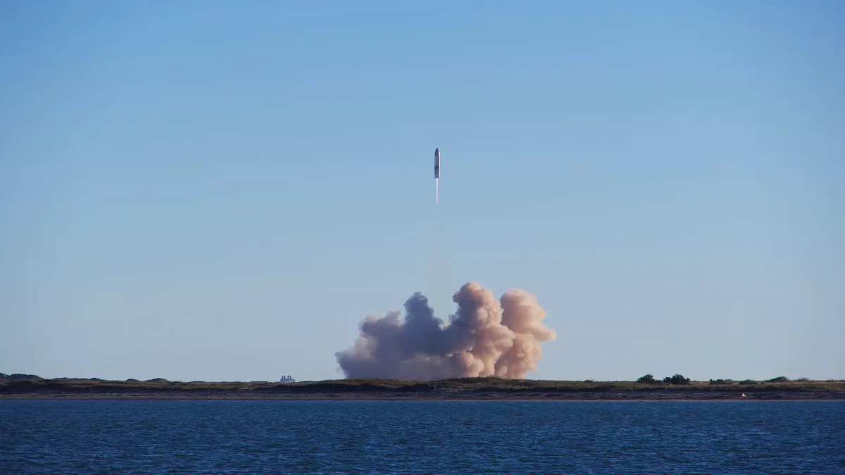
HyImpulse Targets 5 October for Second SR75 Flight
German launch firm HyImpulse could launch its SR75 suborbital rocket from Scotland's SaxaVord Spaceport as early as 5 October, according to maritime...
ESA Hosts FLEX and Sentinel-3C Launch Re-Watch Event
The European Space Agency will host a media event on September 15, 2026, to re-watch the Vega-C launch of the FLEX and Sentinel-3C Earth observation
ESA Reviews Rocket Capacity as Amazon Orders Pressure Launch
The European Space Agency is assessing if its current rocket fleet can handle a satellite launch demand surge expected to peak around 2030, driven by...

Isar Aerospace's Spectrum Rocket Reaches Orbit on First
Isar Aerospace successfully launched its Spectrum rocket from Norway, deploying five CubeSats. This marks the first privately funded European orbital...

Isar Aerospace Launches First Payload Mission Tonight
Isar Aerospace will launch its Spectrum rocket's second flight tonight from Norway, carrying six payloads for the first time as part of its...

Sentinel-3C Launch Secures Climate Monitoring Continuity
Sentinel-3C will launch on 15 September on a Vega-C rocket from French Guiana, joining Sentinel-3A and 3B to ensure uninterrupted climate data...