Sentinel-3C Launch Secures Climate Monitoring Continuity
Sentinel-3C will launch on 15 September on a Vega-C rocket from French Guiana, joining Sentinel-3A and 3B to ensure uninterrupted climate data collection.
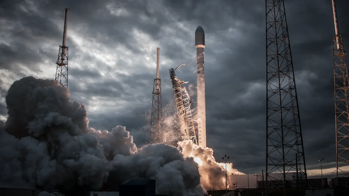
Sentinel-3C launches on 15 September on a Vega-C rocket from French Guiana, joining Sentinel-3A and 3B to ensure uninterrupted climate data collection for the Copernicus programme.
Contribution to Climate Knowledge
Since the first Sentinel-3 satellite launched a decade ago, its data on oceans, land and atmosphere has underpinned scientific research and global climate policy reports. The mission captures changes in marine ecosystems, land surface dynamics and atmospheric processes, contributing to IPCC datasets and the 55 Essential Climate Variables defined by GCOS.
ESA’s Sentinel-3 Project Manager Nic Mardle states the mission’s unique sensor combination and wide-angle capability enable rapid, comprehensive regional data capture, making it the only Copernicus mission with such diverse observational capacity.
ESA’s Director of Earth Observation Programmes Simonetta Cheli notes the third satellite ensures mission continuity, allowing investment in climate resilience and sustained tracking of key climate indicators.
Atmospheric Chemistry
Sentinel-3 provides daily global coverage using multi-band radiometers that measure methane concentrations in high resolution, supporting Sentinel-5P and Sentinel-2 data. In 2023, the mission detected methane leaks as small as 10 tonnes per hour daily, enabling monitoring of super-emitter events.
The wide-angle sensors capture data across up to 1400 km, suitable for tracking regional phenomena like cross-border industrial emissions, wildfire smoke, volcanic eruptions and dust storms.
Land and Vegetation
Sentinel-3 consistently provides land surface temperature data showing heatwaves and wildfires, including observations of the summer 2026 northern hemisphere season.
The mission monitors global forests through vegetation indexes and land-cover mapping, measuring droughts, tracking wildfires and mapping burn scars.
Water and Ice Cycles
Together with other Sentinel missions, Sentinel-3 revolutionises water cycle understanding through global observations of sea levels, river and lake levels, sea surface temperatures, ocean colour and ice thickness.
Sentinel-3’s SRAL altimeter measures sea-level rise at a global average of 3.64 mm per year since 1999, with acceleration observed. Data on sea-ice height and thickness support the Climate Change Initiative Sea Ice Project, analysing Arctic ice alongside CryoSat and SMOS data.
The Sea and Land Surface Temperature Radiometer (SLSTR) provides highly accurate sea surface temperature measurements, serving as a reference instrument for ocean characteristic research including biodiversity and acidification.
Supporting Emergency Services
Sentinel-3 provides rapid data for Copernicus Emergency Management Service activations, with over 77 activations since 2026, more than half for wildfires as of 2 September.
Sentinel-3’s wide-swath thermal and optical observations enable global daily detection of wildfires and extreme events, while sea-surface height, temperature and wind/wave dynamics track marine storm surges and typhoons.
Evolving Uses Processing and data use continue evolving, with reduced time for data capture and transmission enabling faster delivery to end users. New analysis methods now apply to sea-ice thickness and land hydrology data.
Since Sentinel-3A’s 2016 launch, algorithm development has improved optical and altimetry data processing, yielding greater climate and environmental insights.
Sentinel-3C, launching with ESA’s FLEX mission on 15 September, will secure mission stability for continued climate monitoring.