LatConnect 60 and Phi Earth Partner to Connect Space and Soil
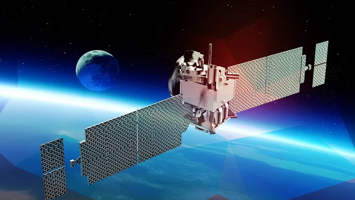
LatConnect 60 and Phi Earth Technologies have announced a strategic partnership to integrate satellite Earth Observation with ground-truth field data for nature-based projects. The collaboration will support biomass and regenerative agriculture initiatives in Malaysia and Australia, leveraging LC60’s SWIRSAT constellation to enhance digital MRV and operational decision-making.
Partnership to Bridge Space and Ground Data
LatConnect 60 (LC60) and Phi Earth Technologies announced a strategic partnership to connect satellite Earth Observation with validated field intelligence for nature-based projects. The collaboration integrates LC60’s Earth Observation capabilities with Phi Earth’s audit-ready digital Monitoring, Reporting and Verification (dMRV) platform, creating an Earth Observation-enabled Digital Twin. This foundation supports projects from early planning through ongoing monitoring, enabling continuous feedback loops that strengthen operational decision-making and environmental reporting.
“The value of good data isn’t simply in collecting it. It’s in helping people make better decisions,” said Stewart Gunnery, CEO of Phi Earth Technologies. “By connecting what satellites can see with what we’re measuring on the ground, we can build a much clearer picture of how nature-based projects are performing. That helps project developers operate more effectively while giving investors and stakeholders greater confidence in the environmental outcomes we’re all working towards.”
The partnership will initially support projects in Malaysia and Australia across biomass and regenerative agriculture. Early applications include napier grass, sweet sorghum and agave, expanding the diversity of crop environments supported. This diversity enables LC60 to demonstrate its Earth Observation capabilities across a broader range of biomass systems beyond traditional crop applications, while providing Phi Earth with richer ground-truth data to strengthen its digital platform across different operating environments.
“We’re excited to see our Earth Observation capabilities supporting real projects in the field. That’s where Earth intelligence proves its value,” said Venkat Pillay, CEO & Founder of LC60. “Working with Phi Earth allows us to demonstrate how our data can strengthen digital MRV while expanding into new biomass crops and nature-based applications. We want to show the market how satellite-based Earth Observation can help deliver practical outcomes for project developers, landowners and the broader climate economy.”
As demand grows for transparent, verifiable and operationally useful environmental data, digital infrastructure is becoming as important as the projects themselves. By connecting space, Earth intelligence, ground truth and operational intelligence, Phi Earth and LC60 are helping build a stronger digital foundation for regenerative agriculture, biomass and high-integrity carbon projects. LC60’s very high resolution Short Wave Infra Red (SWIR) Satellite Earth Observation constellation, also known as the SWIRSAT constellation, will generate unique datasets to drive insights around biomass growth, biomass moisture and carbon sequestration. LC60’s roadmap includes two SWIRSATs launching in Q1 2027 and an 18-satellite constellation by 2029. SWIRSAT is supported by the Australian Space Agency and the Government of Western Australia.
SWIRSAT Constellation Expansion
LC60’s SWIRSAT constellation represents a significant advancement in Earth Observation technology. The very high resolution Short Wave Infra Red (SWIR) capability enables unique datasets focused on biomass growth, moisture levels and carbon sequestration. This technology supports more accurate monitoring of nature-based projects, particularly in agriculture and carbon markets where precise data is critical for verification and operational planning.
The roadmap for the SWIRSAT constellation includes two satellites launching in Q1 2027, with a full deployment of 18 satellites planned by 2029. This expansion will enhance the spatial and temporal coverage of SWIR data, providing more frequent and detailed observations of biomass systems. The project is backed by the Australian Space Agency and the Government of Western Australia, underscoring government support for advanced space-based environmental monitoring.
Digital MRV Platform Integration
Phi Earth’s dMRV platform provides audit-ready digital tools for Monitoring, Reporting and Verification in nature-based projects. By integrating LC60’s satellite data with ground-truth field observations, the platform creates a continuous feedback loop that improves data quality and operational relevance. This integration supports better decision-making for project developers, landowners and ecosystem partners throughout the project lifecycle.