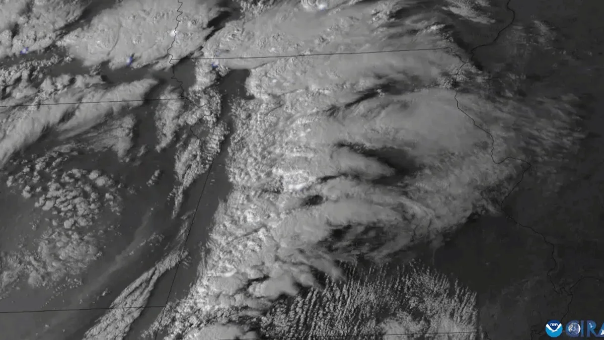
Weather Satellites
| Original use | Meteorological observation and Earth imaging |
|---|---|
| Launch vehicle | Expendable launch system (e.g., rocket) |
| Payload type | Satellite bus with specialized sensors |
| Launch window | Determined by orbital mechanics and mission requirements |
| Orbit type | Geostationary or polar (sun-synchronous) |
| Primary sensors | Visible/infrared imagers, atmospheric sounders |
| Data transmission | Radio frequency downlink to ground stations |
Origin and history
The concept of the weather satellite originated in the United States in the mid-20th century, following advancements in rocketry and remote sensing. The first successful dedicated weather satellite, TIROS-1 (Television Infrared Observation Satellite), was launched by the United States in April 1960. This launch demonstrated the feasibility of observing global weather patterns from space, a capability previously impossible. The Soviet Union also developed its own meteorological satellite program, named "Meteor," with its first successful launch occurring in the late 1960s. These early programs were driven by the Cold War and the strategic need for environmental data, but they quickly proved their immense civilian value. The success of these initial satellites led to the establishment of continuous, operational weather satellite systems by multiple nations and international consortia, evolving over decades into the sophisticated networks in use today.
What it is for
Weather satellites are designed for the continuous observation of Earth's atmosphere, oceans, and land surfaces to monitor and forecast weather. Their primary function is to track the development and movement of large-scale weather systems like hurricanes, typhoons, and mid-latitude storms. They provide critical data for numerical weather prediction models, which form the basis of modern daily and seasonal forecasts. Beyond storm tracking, they monitor long-term climate variables such as sea surface temperatures, ice cap extent, and atmospheric composition including ozone levels. They are essential for issuing timely warnings for severe weather events, thereby saving lives and protecting property. Additionally, they support specialized activities like aviation routing, maritime navigation, and agricultural planning by providing global environmental data.
Overview
A weather satellite is a type of Earth observation satellite specifically instrumented to collect meteorological and environmental data. These satellites operate from two primary orbital regimes: geostationary orbit and low Earth polar orbit. Geostationary satellites maintain a fixed position approximately 35,786 kilometers above the equator, providing constant surveillance of a full disk of the Earth. Polar-orbiting satellites fly at much lower altitudes, typically between 700 and 850 kilometers, circling the Earth and providing global coverage with higher spatial resolution data as they pass over different regions. They carry a suite of sensors, including imagers and sounders, that measure visible light, infrared radiation, and microwave emissions. The collected data is transmitted to ground stations, processed into imagery and quantitative data products, and disseminated to meteorological agencies worldwide.
What to know
The launch of a weather satellite is a complex, high-stakes operation involving a specific vehicle, payload, and launch window. The launch vehicle is the rocket system, such as an Atlas V, Ariane 5, or Falcon 9, chosen for its ability to deliver the satellite's mass to its precise intended orbit. The payload refers to the satellite itself, comprising the spacecraft bus for power and propulsion and the critical instrument payload, such as advanced radiometers and atmospheric sounders. The launch window is a carefully calculated period of time during which the launch must occur to ensure the satellite can achieve its correct orbital slot, accounting for orbital mechanics, ground station visibility, and solar alignment for power. Mission planners also consider weather conditions at the launch site itself, as high winds or lightning can scrub a launch. Post-launch, there is an extended commissioning phase where instruments are activated and calibrated before operational data flow begins.
Common questions
What is the difference between geostationary and polar-orbiting weather satellites? Geostationary satellites provide a constant view of the same hemisphere for real-time monitoring, while polar orbiters cover the entire Earth twice daily with more detailed measurements. How long do weather satellites typically last? Their operational lifespan is usually limited by fuel for station-keeping or orbital maintenance, often designed for 5 to 10 years, though many exceed this. Can they see individual houses or people? No, their spatial resolution, while detailed for weather features, is generally on the order of hundreds of meters to kilometers, insufficient for identifying individual structures. Who operates these satellites? They are operated by national agencies like NOAA and NASA in the U.S., EUMETSAT in Europe, and JMA in Japan, among others. Why are some satellite images in "false color"? Sensors detect non-visible wavelengths like infrared; false-color imagery assigns these invisible data to visible colors to highlight specific features like cloud height or vegetation. What happens to old weather satellites? They are either moved to a "graveyard" orbit (geostationary) or deorbited to burn up in the atmosphere (polar orbit) to reduce space debris.
Pros and cons
The primary advantage of weather satellites is their ability to provide a truly global perspective on weather and climate, covering vast oceanic and polar regions where conventional observations are sparse. They offer continuous, unattended monitoring, delivering data crucial for both immediate severe weather warnings and long-term climate research. A significant drawback is the extremely high cost of development, launch, and ongoing operation, which limits access primarily to national governments and large consortia. Satellite data can also be complex to interpret and integrate into models, requiring significant expertise and computational resources. Common failures include sensor degradation over time, launch vehicle malfunctions resulting in total loss, and on-board system anomalies that can interrupt data flow. Users sometimes regret reliance on a single satellite system when a critical satellite fails, highlighting the need for robust constellations and international data sharing to mitigate single points of failure.
Who it suits
Weather satellite data primarily suits large national and international meteorological organizations responsible for public weather forecasting and climate monitoring. It is indispensable for research scientists in fields like atmospheric science, oceanography, and climatology who require consistent, long-term global datasets. Operational users include emergency management agencies, aviation authorities, and maritime organizations that depend on accurate, timely environmental information for safety and planning. While the raw data is complex, processed imagery and derived products also suit media broadcasters and educational institutions for illustrating weather events. It does not typically suit private individuals for direct use due to the technical barrier, though they benefit indirectly through improved daily forecasts and warnings disseminated via apps and news outlets.
Latest Weather Satellites news
Latest reporting
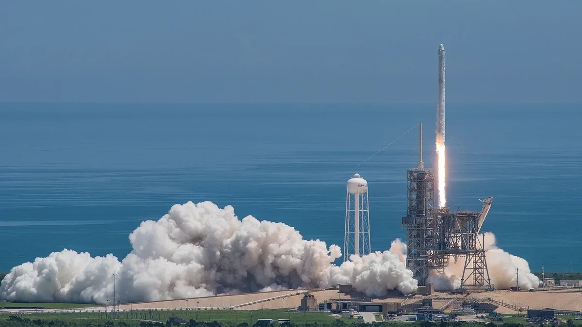
Ariane 6 Launches Advanced Weather Satellite
The Ariane 6 rocket launched the 3.8-tonne MTG-I2 weather satellite from Europe's Spaceport in Kourou, marking the vehicle's first flight to a
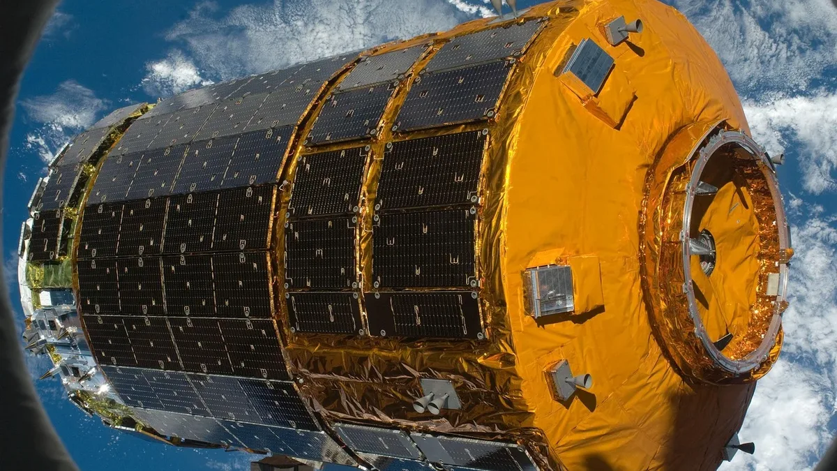
Vega-C Encapsulates FLEX and Sentinel-3C Satellites
The FLEX and Sentinel-3C satellites are now enclosed in the Vega-C rocket's fairing in French Guiana. Liftoff is set for September 15 at 03:21 CEST.
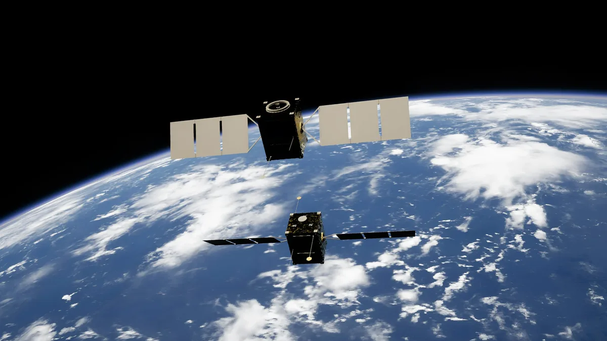
MTG-I2 Satellite Launched on Ariane 6
The MTG-I2 weather satellite launched on August 27, 2026, aboard an Ariane 6 rocket from French Guiana. It will provide high-resolution imagery of...
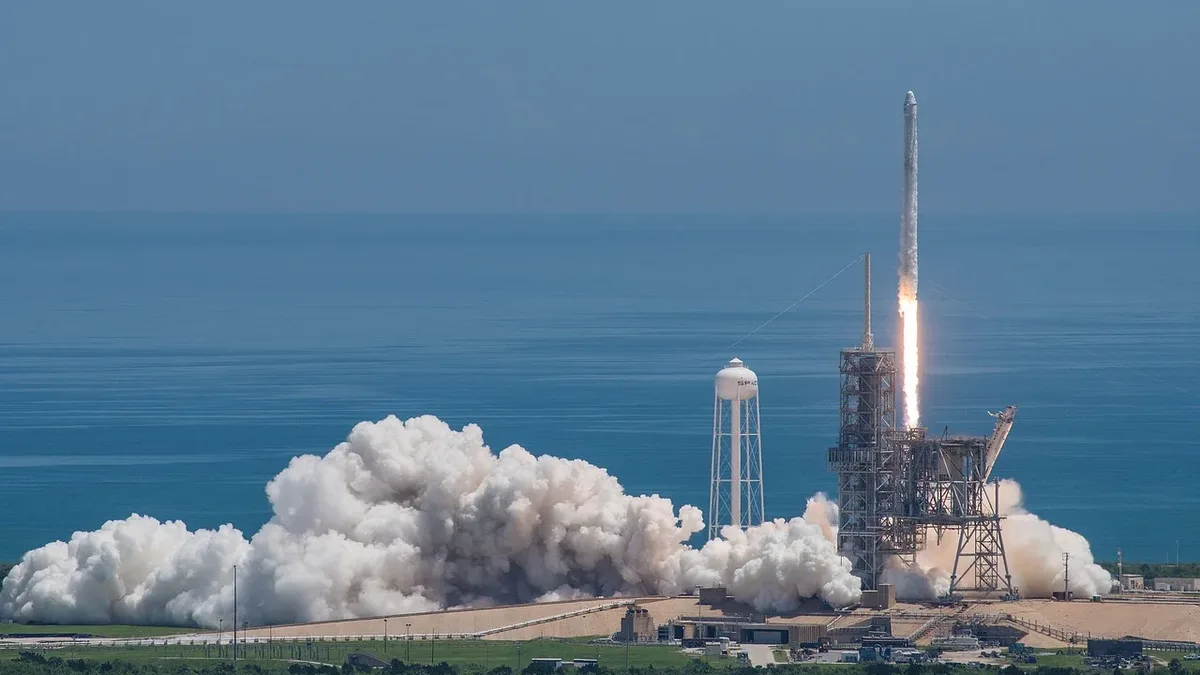
Ariane 6 launches MTG-I2 weather satellite
An Ariane 6 rocket has launched the 3.8-tonne MTG-I2 weather satellite from Europe's Spaceport in Kourou. The mission, featuring a...
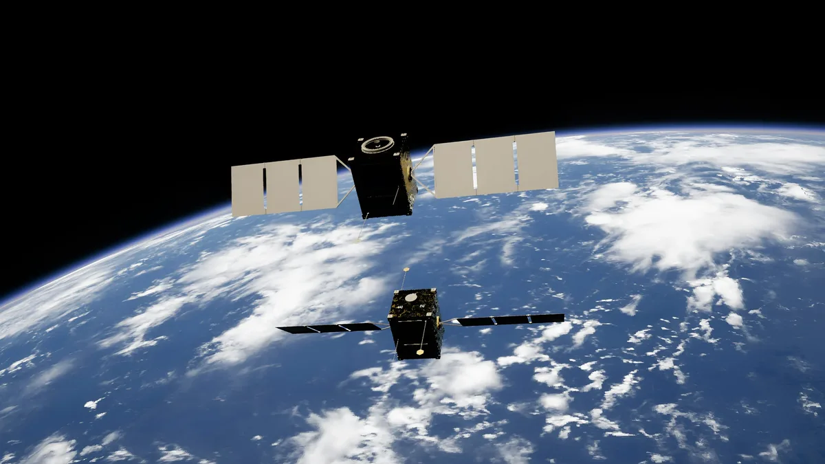
Ariane 6 Launches Weather Satellite
Europe's Ariane 6 rocket successfully delivered the MTG-I2 weather satellite to geostationary transfer orbit on August 27, confirming its operational

Ariane 6 to launch MTG-I2 weather satellite
Arianespace will launch the MTG-I2 weather satellite on an Ariane 62 rocket on August 27, 2026. The mission, designated VA270, will be the fourth...