Copernicus Sentinel
| Launch vehicle | Soyuz-2/Fregat |
|---|---|
| Launch site | Centre Spatial Guyanais, French Guiana |
| Launch window | 2024 (planned) |
| Constellation | Part of the Copernicus Sentinel-2 Earth observation constellation |
| Primary instrument | MultiSpectral Instrument (MSI) |
| Orbit type | Sun-synchronous orbit |
| Mission objective | Land monitoring (vegetation, soil, water cover, coastal areas) |
Origin and history
The Copernicus Sentinel program originates from the European Union and the European Space Agency (ESA), representing a major European commitment to Earth observation. Its development was initiated in the early 21st century, with the formal Copernicus program (formerly known as GMES) being established in the 2000s. The first satellite in the dedicated Sentinel series, Sentinel-1A, was launched in the 2010s, marking the operational beginning of the fleet. The program builds upon decades of European expertise in remote sensing from earlier missions like ERS and Envisat. It is a cornerstone of the EU's space policy, designed to ensure long-term, continuous data collection for environmental and security services. The history of the program is intrinsically linked to Europe's goal of achieving independent, global Earth monitoring capability for its member states and citizens.
What it is for
The Copernicus Sentinels are a fleet of dedicated Earth observation satellites designed to monitor the planet's land, oceans, and atmosphere systematically. Their primary purpose is to supply data for the Copernicus Services, which provide information on six thematic areas: land monitoring, marine monitoring, atmosphere monitoring, climate change, emergency management, and security. Each Sentinel mission carries specific instruments tailored to its role; for instance, radar instruments for all-weather day-and-night imaging, or multispectral imagers for tracking vegetation and land use. The data is used for applications ranging from mapping sea ice and oil spills to supporting agriculture and humanitarian aid during disasters. A core principle of the program is to provide its data freely and openly to users worldwide. This operational, long-term data stream supports scientific research, commercial services, and governmental policy-making on a global scale.
Pros and cons
A primary advantage of the Copernicus Sentinel program is its policy of free, full, and open data access, which has democratized Earth observation and spurred innovation across many sectors. The systematic, global coverage and long-term operational commitment provide a reliable data stream unmatched by single, research-focused missions. The technical design of the satellites, such as the use of radar for all-weather capability, ensures consistent data collection regardless of cloud cover or daylight. A significant con, however, is the inherent complexity and high cost of developing, launching, and maintaining such a large, multi-satellite constellation, which requires sustained political and financial commitment from member states. Users sometimes regret the data volume and complexity, as processing the raw satellite data into usable information requires specialized software and expertise, which can be a barrier to entry. A common mistake is underestimating the need for ground infrastructure and calibration efforts to translate the satellite measurements into accurate, validated geophysical products.
Who it suits
The Copernicus Sentinel data primarily suits governmental bodies and public institutions within the EU and globally, which use the information for environmental policy, regulation, and civil protection. It is highly suited for the scientific research community, which relies on the consistent, calibrated, long-term datasets for climate studies, oceanography, and geology. Commercial entities, particularly value-adding service providers in sectors like agriculture, insurance, and maritime, suit the program as they build applications on top of the free data. National and international emergency response coordinators suit the rapid mapping services provided by Sentinels during natural disasters like floods or earthquakes. While accessible, the raw data is less suited for casual users without technical backgrounds, who may benefit more from processed services built by third parties. Ultimately, the program suits any user or organization with the capacity to handle large satellite datasets and a need for comprehensive, objective environmental information.
Latest Copernicus Sentinel news
Latest reporting
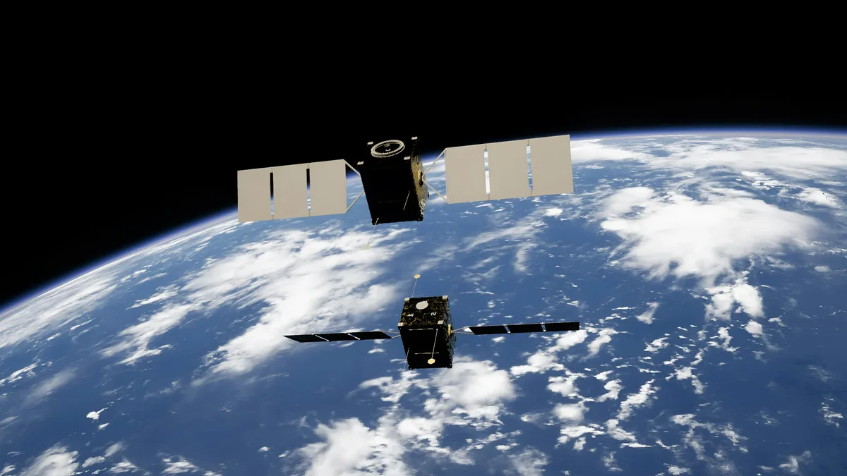
Sentinel-3C Delivers First Images and Measurements
The Sentinel-3C satellite has returned its first images and measurements from two key instruments just two weeks after its September 2026 launch...
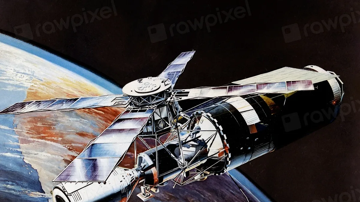
ESA Hosts FLEX and Sentinel-3C Launch Re-Watch Event
The European Space Agency will host a media event on September 15, 2026, to re-watch the Vega-C launch of the FLEX and Sentinel-3C Earth observation...
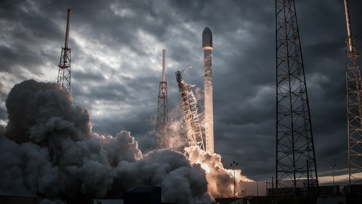
Sentinel-3C Launch Secures Climate Monitoring Continuity
Sentinel-3C will launch on 15 September on a Vega-C rocket from French Guiana, joining Sentinel-3A and 3B to ensure uninterrupted climate data...
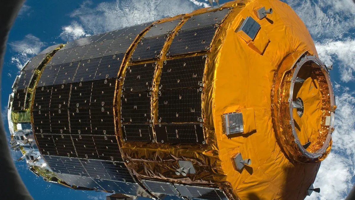
Vega-C Encapsulates FLEX and Sentinel-3C Satellites
The FLEX and Sentinel-3C satellites are now enclosed in the Vega-C rocket's fairing in French Guiana. Liftoff is set for September 15 at 03:21 CEST.
Sentinel-3 Speeds Data Delivery for European Wildfires
The European Space Agency and Eumetsat have sped up delivery of Copernicus Sentinel-3 data, letting emergency services respond to European wildfires...

Sentinel-1 Captures Major Ice Loss From Greenland's Petermann Glacier
Europe’s Copernicus Sentinel-1 mission captures major ice loss from Greenland glacier.