Sentinel-3C Delivers First Images and Measurements
The Sentinel-3C satellite has returned its first images and measurements from two key instruments just two weeks after its September 2026 launch, providing early confirmation of its performance ahead of a five-month commissioning phase.
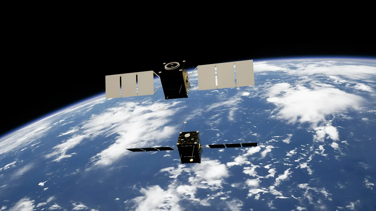
Sentinel-3C has returned its initial images and measurements from key instruments shortly after launch. The satellite was launched two weeks prior to returning its first images and measurements. The first acquisitions provide an initial indication of the satellite’s performance and represent a step towards full operational service. The European Space Agency is still commissioning Sentinel-3C for service. The satellite delivered first images and measurements from its ocean and land colour instrument (OLCI) and its synthetic aperture radar altimeter (SRAL). The first OLCI image was acquired on 30 September 2026.
What the instruments observed
The first acquisitions captured detailed views of Italy, the Arctic, and the Caribbean, along with Greenland ice sheet and sea-surface height data. The first image shows Italy from southern Germany to Sicily and the southern Mediterranean. The Adriatic Sea appears as deep blue waters separating Italy from the Balkan Peninsula. The Tyrrhenian Sea surrounds Sardinia and Sicily, with Corsica largely obscured by cloud. The Po Valley is visible in shades of brown and green. The snow-capped Alps are visible to the north. Lighter blue waters along Italy’s eastern coastline are likely due to sediment from rivers.
The second image shows part of the Canadian Arctic Archipelago west of Greenland. Snow- and ice-covered islands dominate the scene with rugged coastlines, deep fjords and exposed rock. Some fractured sea ice floes are visible on dark open water. The Arctic is warming much faster than the global average.
The third image, captured on 29 September, shows part of the Caribbean with Cuba to the south and the Bahamas towards the top. Shallow waters around Caribbean islands appear turquoise against darker deeper waters.
The synthetic aperture radar altimeter measured Greenland ice sheet height and sea-surface height. An animation of data acquired between 30 September and 4 October shows Greenland Ice Sheet height measurements closely matching a reference digital elevation model. The altimeter measurements are comparable to the Copernicus Marine Service multimission sea-level anomaly. High-precision satellite altimetry has established global sea-level rise at 3.64 mm per year since 1999, and the rate of sea-level rise is accelerating. The altimeter will measure changes in height of lakes, rivers, sea ice and land ice, complementing the upcoming Copernicus CRISTAL mission. Monitoring Greenland and Antarctic ice sheet height changes is essential for understanding climate change impacts, as ice loss from ice sheets is a major contributor to sea-level rise. The first observations from Sentinel-3C’s sea and land surface temperature radiometer are coming soon.
Mission context and next steps
Sentinel-3C is the third satellite in the Sentinel-3 series. Sentinel-3 satellites carry the same suite of instruments to measure Earth’s oceans, land, cryosphere and atmosphere. They are designed to provide long-term, systematic measurements. Over oceans, Sentinel-3 measures sea surface temperature, colour, height and sea ice thickness. Over land, it monitors drought, wildfires, land use, vegetation health and height of rivers, lakes and polar ice sheets. The data are used to provide near-real-time parameters for weather forecasting and to monitor long-term changes associated with climate change. Sentinel-3 ocean measurements are used to monitor marine pollution and marine heatwaves. Sentinel-3 is part of Copernicus, the Earth observation component of the EU's Space programme.
The commissioning process for Sentinel-3C is expected to take a further five months. The European Space Agency said it is "still in the process of commissioning Sentinel-3C for service, an important and intricate task that will take another five months." After commissioning, the Sentinel-3 mission is jointly managed by ESA and Eumetsat.
Operational outlook
After commissioning, operations will be split between ESA and Eumetsat. Eumetsat handles routine satellite operations and delivery of marine and atmospheric data. ESA delivers land, cryosphere, inland water and offline atmospheric products. The commissioning process for Sentinel-3C is expected to take a further five months.